
How Parking Apps Are Changing City Planning
Urban planners have long faced a paradox: cars are necessary, but parking them is a nightmare. In the world’s most densely packed cities, the balance between mobility and infrastructure is delicate—and often inefficient. But what if the key to smarter, more livable cities isn’t building more garages or banning cars, but leveraging data from real-time parking apps?
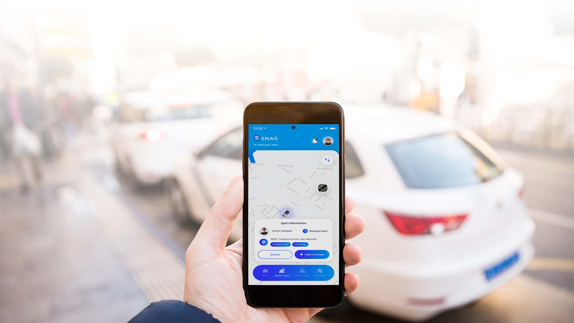
As cities evolve into digital ecosystems, real-time platforms like SNAG, one of the best parking apps available today, are beginning to play a surprising role—not just for drivers, but for urban planners, policy makers, and transit authorities. Here’s how parking apps are quietly transforming urban mobility and reshaping the future of city planning.
Smart Cities and the Role of Real-Time Parking Data
The concept of a “smart city” is built on the idea that data, sensors, and connectivity can solve urban problems faster than concrete and construction ever could. From smart traffic signals to adaptive public transportation schedules, cities are already using data to become more responsive and efficient.
But one area has been largely overlooked—parking.
Parking app NYC platforms like SNAG contribute to data-driven urban planning by collecting millions of data points from users sharing information about spot availability, legality, curbside conditions, meter rates, and parking duration. When aggregated, this data provides a high-resolution view of how people use streets on a block-by-block level.
Cities now have access to:
- Live parking turnover data
- Demand surges during peak hours
- Seasonal or event-based trends
- Curbside utilization by neighborhood
In the past, this information required costly studies, manual counting, and surveys. Today, it’s available live from the phones of real drivers navigating NYC driving apps and urban parking problems in real time.
Urban Parking: The Most Mismanaged Smart City Resource
Parking is arguably one of the most mismanaged public resources in cities today. Here’s why:
- Oversupply in some areas, scarcity in others.
Cities often overbuild garages in business districts while under-regulating high-demand residential zones. - Curbside chaos.
Double-parking, illegal hydrant parking, and ambiguous signage contribute to traffic and enforcement issues. - Stale policies.
Many cities still rely on outdated parking minimums or flat-rate meter pricing, even as neighborhoods evolve rapidly. - Low enforcement efficiency.
Without real-time parking app data, enforcement becomes reactive instead of proactive.
As a result, car circling parking stats NYC show that parking contributes to up to 30% of urban traffic, caused by drivers circling the block in search of an open space.
Apps like SNAG, a street parking app, turn this chaos into clarity. They not only serve drivers—they create a feedback loop of urban behavior, allowing cities to move from guesswork to insight.
Parking Heat Maps and AI Predictions for Smarter Mobility
The power of a real-time parking app doesn’t stop at current availability—it lies in prediction.
- Where spots typically become available during certain hours
- Which streets are most likely to fill during rush hour
- Where alternate-side rules cause mass vacancy or demand spikes
- Weekend vs. weekday patterns in different zones
Now pair this with AI in transportation planning, historical patterns, seasonal changes, and even weather inputs—and cities can begin to predict demand before it occurs.
Benefits for urban planners include:
- Identifying underused curb space that can be repurposed for bike lanes or pedestrian zones
- Adjusting meter rates based on real-time demand (dynamic pricing)
- Enhancing enforcement routes using live violation patterns
- Planning for EV charging infrastructure based on dwell time
Parking heat maps, when shared with city agencies, allow for a granular rethinking of street usage—and an end to one-size-fits-all policies.
How SNAG’s Parking Data Helps Urban Planners and City Leaders
SNAG isn’t just about helping drivers find parking—it’s about helping cities understand how drivers interact with the urban landscape.
Here’s how SNAG can support modern city planning:
1. Curbside Inventory Mapping
Cities often don’t have an accurate inventory of their own curb space. SNAG crowdsources curb data (hydrants, loading zones, commercial-only restrictions) and dynamically updates it through driver input—an example of curbside management NYC in action.
2. Spot Duration + Turnover Insights
By analyzing when spots are vacated and reoccupied, planners can gauge how long cars typically stay, informing whether certain zones should allow 1-hour vs. 4-hour limits.
3. Violation Reporting Trends
Users can tag illegal or problematic zones, such as hidden driveways or confusing signs. This data helps cities adjust enforcement priorities or redesign zones for clarity—ultimately helping drivers avoid parking tickets NYC.
For cities willing to partner with platforms like SNAG, the payoff is massive: data-driven, cost-effective planning with measurable outcomes.
Bridging Parking Policy and Transportation Technology
For real change to occur, parking apps and policymakers must work hand-in-hand.
Unfortunately, many city governments still treat parking as a static asset rather than a dynamic system. Policies often lag behind technology, with rigid rules that don’t reflect real-time behaviors or changing commuter patterns.
Here’s how city leaders can bridge the gap:
- Open Data Agreements: Cities can collaborate with SNAG to receive anonymized data sets for transportation planning while ensuring user privacy.
- Dynamic Zoning Experiments: Use SNAG data to pilot changes like commercial-only hours, curb usage rotation, or valet-only districts.
- Adaptive Pricing Models: Adjust meter rates during high-demand windows to reduce circling and increase turnover.
- Education Campaigns: Empower citizens to understand new parking norms through SNAG alerts, visuals, and push notifications.
- Integration with Smart Mobility NYC Initiatives: Combine SNAG’s insights with pedestrian, bike, and traffic data to create holistic mobility blueprints.
By embracing apps to share parking spots like SNAG as strategic partners, cities can make streets more efficient, equitable, and future-ready.
Final Thoughts: Smarter Cities Through Parking Innovation
Parking is no longer just a driver’s problem—it’s an infrastructure challenge, an urban equity issue, and a sustainability concern. The good news? Real-time parking apps like SNAG are turning every parked car and every empty curb into a data point for smarter decisions.
Whether you’re a planner redesigning Midtown’s traffic flow, or a driver just trying to avoid a ticket in Brooklyn, SNAG is paving the way to a better, more connected city.
In the age of smart mobility NYC, it’s time to think of parking not as a nuisance, but as a source of intelligence. With the right tools, the street outside your window might just be the key to better urban mobility for all.
Join the peer-powered parking movement.
Download the SNAG app and help shape the future of your city—one parking spot at a time.